Know every acreof your lease.
We fly your land and build a map about 5× sharper than satellite — a live map every phone in camp can open, and a print for the lodge wall. Flown fresh for you, not pulled from a years-old satellite pass.
Satellite vs. a CTH flight.
Same stand, same lanes.
A real box blind at a three-lane junction. Left is the best public satellite view. Drag the handle.
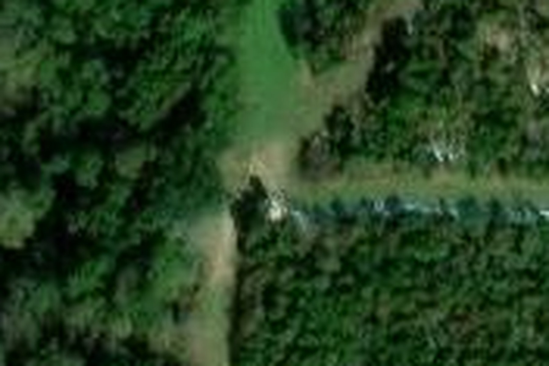
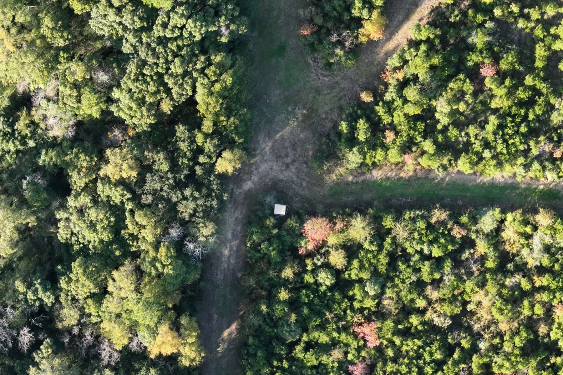
Flown fresh for every client — never a years-old satellite pass.
Don't take our word for it.
Open the map.
This is a real Baldwin County hunting property we mapped. Pinch, zoom, and flip on the Hunt Layer.
- Detail down to 2-inch pixels — see individual trees, trails, and rubs
- Your stands on the map with true-to-scale shooting lanes
- 3-day wind forecast — every stand shows green or red for the wind
- Opens on any phone from a link. No app, no account
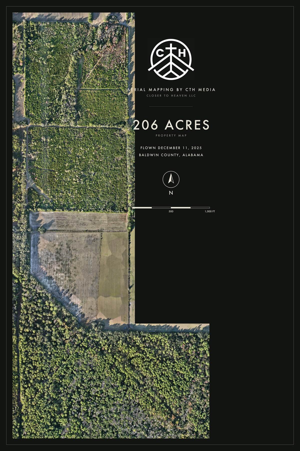
Three ways to map your property
Your acreage sets the base price. The package picks how deep the map goes.
Every package starts with the same flight of your land — tell us the acres, get a real number same day.
The Scout
The live map on every phone in camp. Pinch-zoom to 2-inch detail, share the link with the whole club, and drop your land into Google Earth. No app, no login, no subscription — yours for good.
- Live map link, shareable
- Google Earth file
- Full-resolution files, delivered
The Camp Map
Everything in The Scout, plus your land designed as a print for the lodge wall — your property's name, acreage, and true scale on it. A 24×36 matte poster is included, printed and shipped.
- Everything in The Scout
- 24×36 wall print, shipped
- Framed, aluminum & larger sizes available
The Hunt-Ready Map
We walk your stands with you and build them into the map — shooting lanes drawn to scale, feeders marked, and the wind every stand needs, with a 3-day forecast turning each stand green or red.
- Everything in The Camp Map
- Stand & lane walk-through
- Per-stand wind calls + forecast
Pick your print
Printing is passed through at lab cost — you pay what the print house charges, nothing more. Ballparks below are for 24×36, shipped; sizes up to 40×60 available.
Matte poster
The classic camp wall map — deep matte paper, no glare. One is included in The Camp Map. Extra copies about $25.
Laminated roll-up
The truck map. Rolls up behind the seat, shrugs off rain and coffee, and takes a dry-erase marker for planning sits. About $60.
Framed print
Ready to hang in the lodge or the office the day it arrives. Fine-art paper, classic frame. About $90.
Aluminum panel
For the clubhouse, check-in station, or skinning shed — humidity can't touch it and it wipes clean. About $240.
What you're actually getting
The map is an orthomosaic — hundreds of drone photos corrected for angle and lens distortion, then stitched into one flat, to-scale image of your land. That's why you can measure a distance on it and trust the number.
How a mapping job runs
- Send acreage and property lines — onX, HuntStand, a plat, or a dropped pin
- We scope it and give you a number, usually same day
- We fly the property on an automated grid, overlapping every photo
- The images get processed into a single to-scale map of your land
- You get the live map link, the Google Earth file, and the full-resolution files to keep
- Add stands, lanes, and wind calls if you went Hunt-Ready
Straight talk
- A map shows the canopy — we can't see what's under a solid pine top from above
- Flying happens on a weather window; steady rain and hard wind push a job
- Leaf-off in late winter gives the most usable detail on the ground under the trees
- Big acreage takes more flight time and more processing — that's what the acreage price reflects
Mapping a job site instead of a lease? That's the same flight, different deliverable — see construction documentation & drone mapping.
One of the coolest experiences I’ve had in a long time. Brayden with Closer to Heaven was absolutely awesome and a true professional. I had a deer injured that I was unable to track and Brayden was able to come out and put eyes on the deer and assist with assessing the deers condition. I would 1000% recommend Closer to Heaven to all my friends and will have Brayden out to my place anytime I need a drone.
Definitely recommend Closer to Heaven, awesome guy, professional and is dedicated to each and every call he gets. He goes out of his way and even helped me drag my buck out when it was 17 degrees at 12am. Couldn’t ask for better representation of the hunting and drone service community. A++
Property mapping questions
What's an orthomosaic map?
One flat, to-scale image of your property, stitched from hundreds of drone photos that have each been corrected for angle and lens distortion first. That correction is why distances measured on it are true — a single wide aerial photo skews everything away from the center.
How is this different from onX or Google Earth satellite?
Resolution and age. Public satellite imagery over rural Alabama is often years old and mushes together right where it matters — you can't pick out a shooting lane, a fresh cut, or a single tree. We fly your land fresh at roughly 2-inch detail. Drag the slider above and see it for yourself.
How much does a hunting property map cost?
Your acreage sets the base price and the package sets how deep the map goes. Every package starts with the same flight of your land — send us the acres and you'll get a real number, usually the same day.
Do I need an app or a subscription?
No. The live map opens from a link on any phone — no app, no login, nothing recurring. You also get a Google Earth file and the full-resolution files delivered, yours to keep for good.
Can you put my stands and shooting lanes on it?
That's the Hunt-Ready Map. We walk the stands with you, draw the lanes to scale, mark feeders and plots, and set the wind each stand needs — then a 3-day forecast turns every stand green or red for the wind.
Can I get a map and a deer survey on the same trip?
Yes, and it saves you $100. Book a drone deer survey alongside the map and the pair gets $100 knocked off — one trip out, both jobs done.
Your property's best season starts with knowing it.
Tell us your acreage and what you want built into the map — we'll come back with a real scope.
Also for hunters: drone deer surveys · thermal drone deer recovery · everything we do for hunters