Know every acre.
Recover every deer.
Three jobs, one drone operator who lives here. Thermal recovery when the blood trail runs out. Surveys that tell you what's really on the property. Maps of your land sharper than any satellite — built to hunt from.
Most outfits sell you one piece of the season. CTH covers the whole thing — the map you plan on, the survey that tells you what the herd looks like, and the thermal drone that finds your deer when the trail goes cold.
Thermal deer recovery
Flat rate, day or night. We fly thermal over your track, find the heat, and walk you to your deer.
- $300 for up to 2 hours of searching
- Night flights — that's when thermal reads best
- 150+ recoveries across the Gulf Coast
Drone deer surveys
Thermal counts flown when deer show best. A total count and buck-to-doe ratio for managing the herd on your property.
- Starts at $250 for the first 100 acres
- Total count + buck-to-doe ratio
- Step up for bedding areas, buck photos, GPS pins
Thermal deer surveys are provided for herd and land-management purposes only. Survey data is a management tool, not a hunting aid.
Hunting property maps
We fly your land and build a map about 5× sharper than satellite — a live map on every phone in camp, and a poster for the wall.
- 2-inch detail, flown fresh for you
- No app, no login — opens from a link
- Stands, lanes and per-stand wind calls available
Satellite vs. a CTH flight.
Same stand, same lanes.
A real box blind at a three-lane junction. Left is the best public satellite view. Drag the handle.
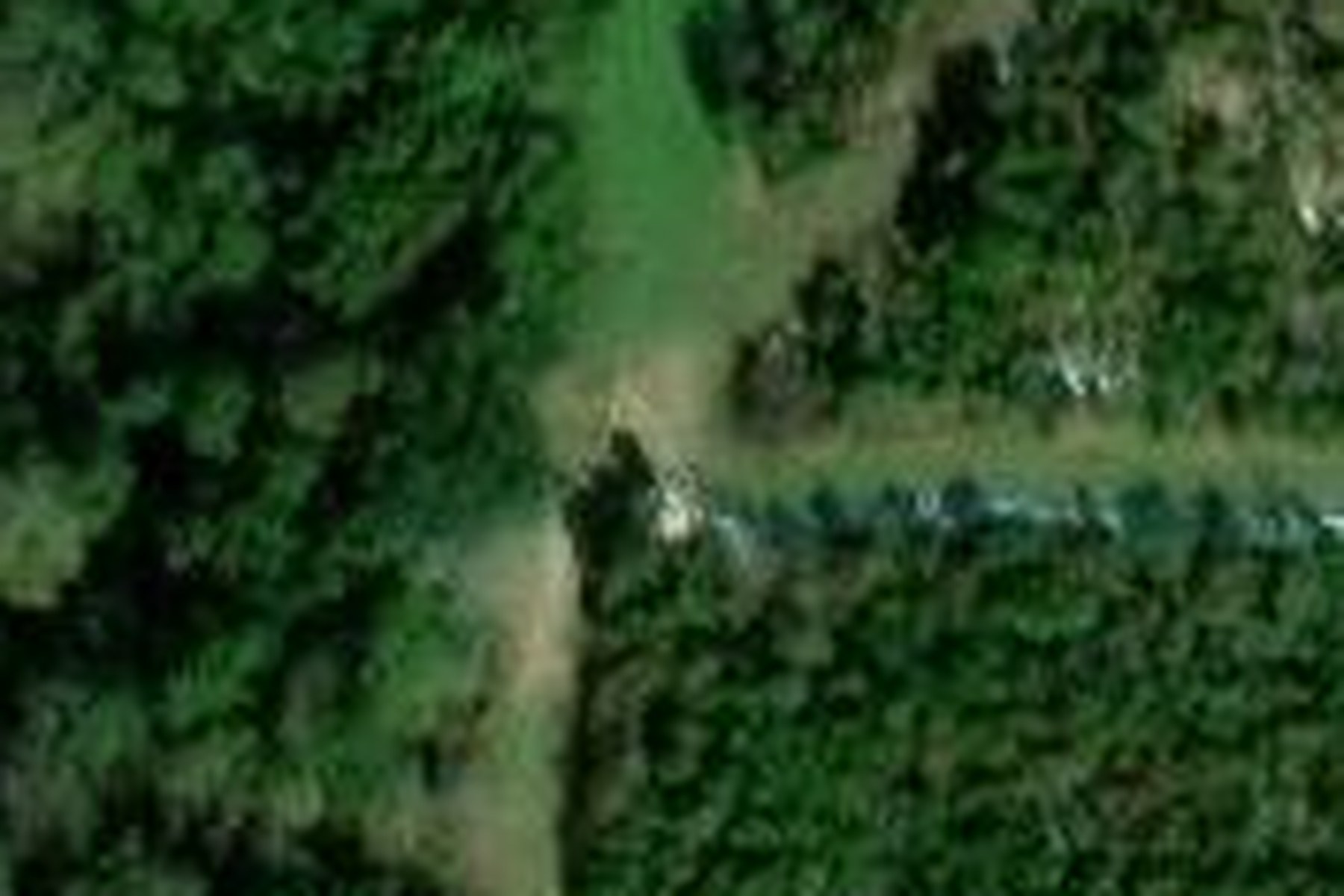
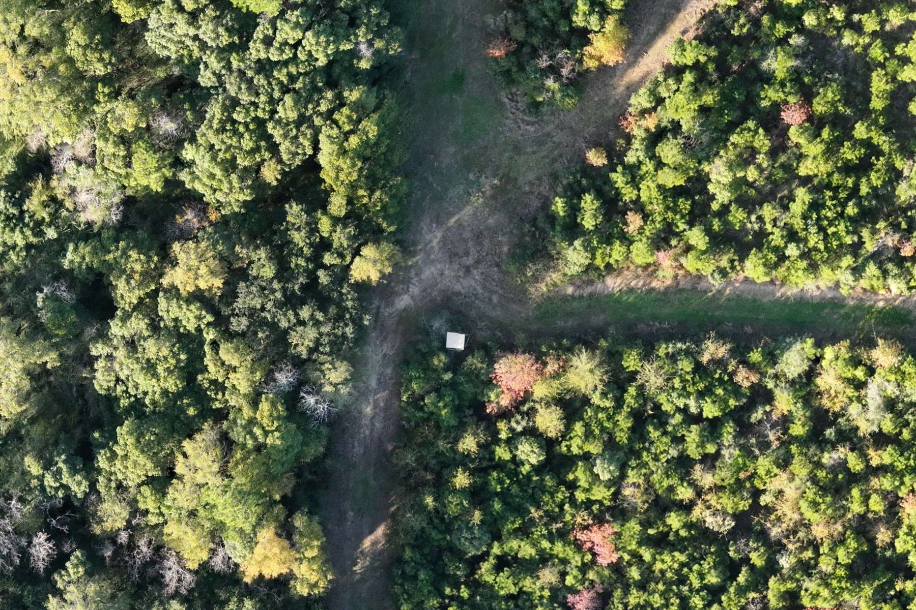
Flown fresh for every client — never a years-old satellite pass. See how property mapping works →
BUNDLE A MAP + SURVEY — SAVE $100
Book a property map and a deer survey on the same trip and the pair gets $100 knocked off. One trip out, both jobs done.
Definitely recommend Closer to Heaven, awesome guy, professional and is dedicated to each and every call he gets. He goes out of his way and even helped me drag my buck out when it was 17 degrees at 12am. Couldn’t ask for better representation of the hunting and drone service community. A++
One of the coolest experiences I’ve had in a long time. Brayden with Closer to Heaven was absolutely awesome and a true professional. I had a deer injured that I was unable to track and Brayden was able to come out and put eyes on the deer and assist with assessing the deers condition. I would 1000% recommend Closer to Heaven to all my friends and will have Brayden out to my place anytime I need a drone.
Deer recovery stories from Baldwin County.
One hunter searched over an hour in the dark before we put the drone up and found his deer in two minutes. The biggest buck we've recovered came out of a break in the rain. We published the searches that came up empty too.
Read the recovery stories →How pricing works
Recovery is flat-rate — call and we roll. Surveys and maps are scoped by acreage and what you want built into the map. No packages you have to keep paying for, no subscriptions.
We're local to Baldwin County, and quotes turn around same day. If a deer's down right now, skip the form and call.
Your property's best season starts with knowing it.
Tell us about your land and what you're after — we'll come back with a real scope.
Start a projectLost a pet instead? Lost dog & cat thermal drone search →